HISTORICAL ELECTION MAPS
This section covers the evolution of elections and the electoral boundaries of Malaysia. Click on the links below to access Tindak Malaysia’s application.
FEDERAL ELECTION HISTORY ATLAS OF MALAYSIA
Learn about the 1 pre-Merdeka and 15 post-Merdeka federal elections in one single site.
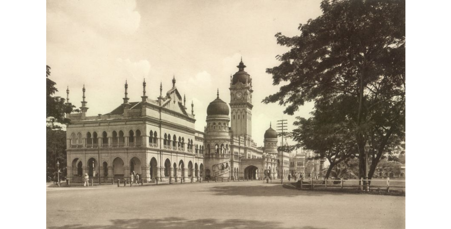
Image from Wikimedia Commons
STATE ELECTION HISTORY ATLAS OF SABAH
In preparation for the 2025 Sabah State Elections, Tindak Malaysia launched the Sabah State Election Atlas, which charts election history from 1962 to the present. Learn Sabah’s political history via this site.
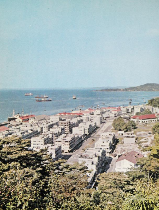
Image from Colony of North Borneo Annual Report 1962
POSTERS OF HISTORICAL ELECTIONS OF MALAYSIA
These A0 posters were designed for Tindak Malaysia’s 70 years of General Elections: Shaping Malaysian Democracy’s Exhibit. These posters can be used for all non-commercial purposes provided the watermark is not removed and explicit acknowledgment is given to Tindak Malaysia. The posters may be updated or removed at any time without prior notice.
The posters are hosted here.
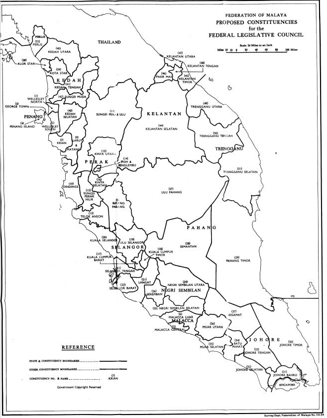
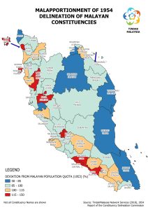
Image from Report of the Constituency Delineation Commission (1954)
The associated detailed election analysis for the atlas can be found via Tindak Malaysia Elections Hub. Click here
Malayan Redelineation Exercises
Learn about the first delineation of Federal Legislative Council Constituencies of Malaya by clicking the image below
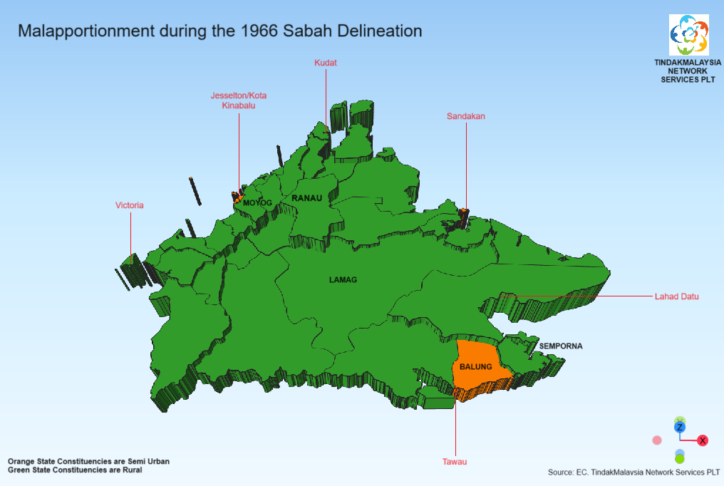
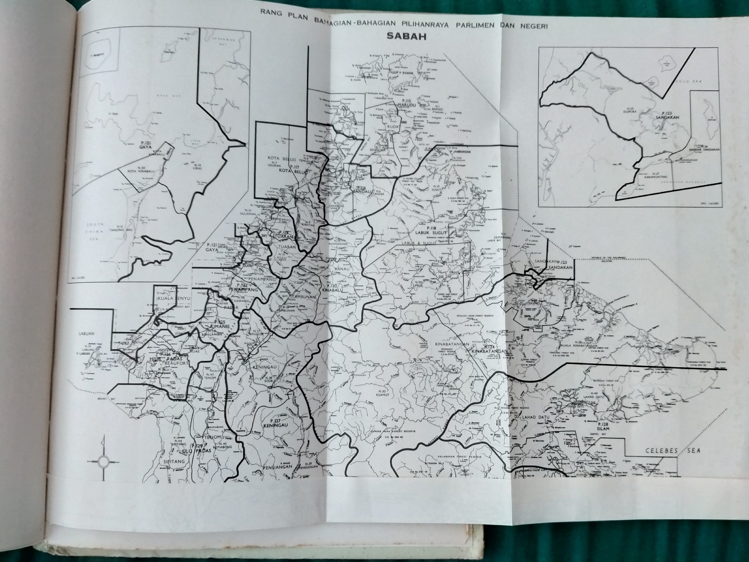
Sabah’s Redelineation Exercises
1966 Delineation Exercise
Learn about the first delineation of DUN and Parliamentary Constituencies of Sabah by clicking the image below.
1974 Redelineation Exercise
Learn about the next delineation of DUN and Parliamentary Constituencies of Sabah by clicking the image below
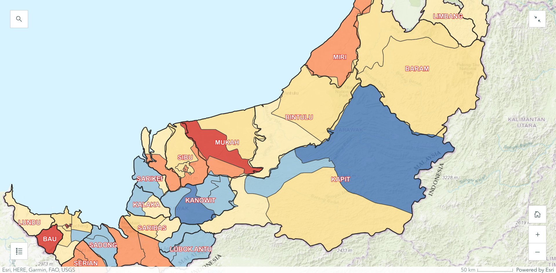
Sarawak’s Redelineation Exercises
1968 Delineation Exercise
Learn about the first delineation of DUN and Parliamentary Constituencies of Sarawak by clicking this link